Big G introduces three new Google Maps Platform APIs that will allow developers to easily map information about solar energy, air quality and pollen
Apply AI and machine learning to environmental data
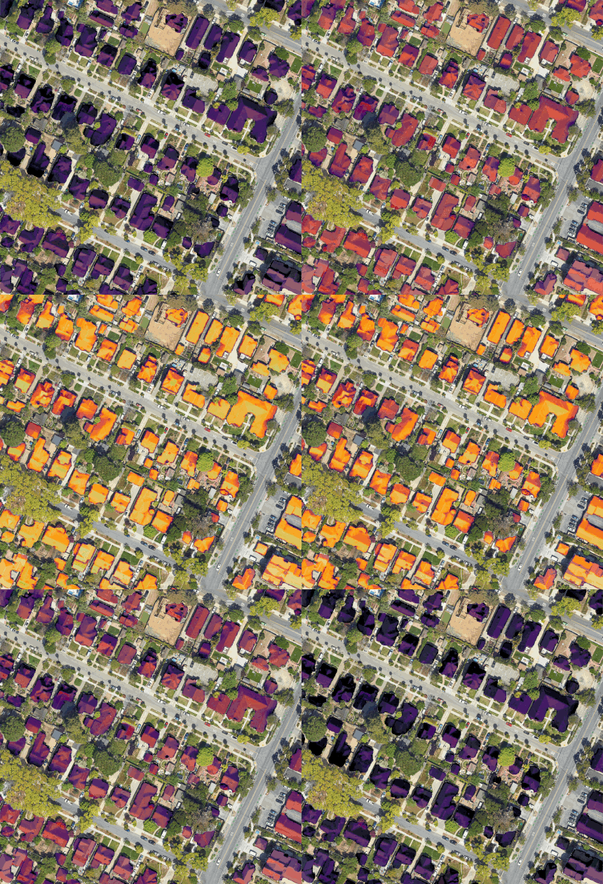
Google announced that it will sell an Application Programming Interface (API) dataset on solar mapping, providing companies with information to assess the photovoltaic potential of roofs. We’re talking about a database of over 320 million buildings in over 40 countries. The announcement came yesterday from the same Big G with the presentation of three new products Google Maps Platform: Solar API in fact, Air Quality API and Pollen API.
“These products use artificial intelligence and machine learning, along with aerial images and environmental data, to provide up-to-date information on solar potential, air quality and pollen levels,” explained Yael Maguire, Vice President and General Manager of Geo Sustainability Google. “With this technology, developers, companies and organizations can create tools that can map and mitigate environmental impact”.
Solar API, smart Solar mapping of roofs

Google’s focus on solar mapping tools began in 2015 with the launch of Project Sunroof, a project designed to help people explore their local “photovoltaic potential” through Google Earth images. “API Solar is built on the foundation of Project Sunroof,” explains Jennifer Anderson, Managing Director of the Google Maps platform. “We have expanded these capabilities by using artificial intelligence to provide more accurate information and insights than publicly available LIDAR data or satellite-derived 3D models“. The company’s experts trained an AI model to extract 3D information about the geometry of roofs and roofs directly from aerial images of over 320 million buildings in 40 countries, including Italy. The tool also takes into account elements such as historical weather data of the area or energy costs.
read also Uzufly, the evolution of Google Earth to create digital twins of cities and buildings
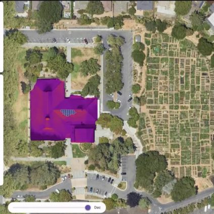
Two features are offered: on the one hand, Solar API allows you to obtain rapid information on solar feasibility, such as the amount of sunlight received from a building and the most energy efficient solar panel system (Building Insights). On the other hand it provides detailed insights that facilitate the design of solar systems, such as shading in the area or digital models of the surface of the roof (Data Layer).
API Air Quality and Pollen APIs can also help companies better understand climate and environmental change. The first offers developers analysis on air quality, showing an index on a scale of 1 to 100. The general availability launch includes information for over 100 countries. The second provides a daily pollen forecast and a heat map for the next 96 hours. It shows information about pollen from trees, grasses and weeds, and takes into account 15 different species of plants such as grasses, alder, ash, birch, cottony, elm, hazel, cedar and Japanese cypress, juniper, maple, oak, the olive, the pine and the ambrosia. It will be launched in general availability in the coming months in 65 countries. Both will also cover Italy.


